Walking the Land – The Formula for Finding Energy Hubs
Powerful hubs of energy are found around our world. A hub infers that the site is running energy—meaning it is receiving and sending, or sharing energy. This energy share occurs locally, regionally, and globally. Mountain energy such as that found within a single peak, such as Mt. Rainier in Washington state, a group of peaks such as the Grand Tetons of Wyoming, or a mountain range such as the Alps, Rocky Mountains, or Andes Mountains are examples. Mountains also run energy across the great expanses of this planet without mountains.
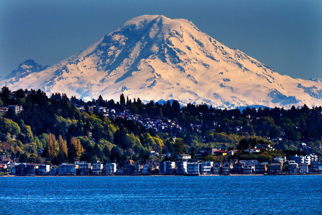
Because of their weight and mass, mountains can handle unstable energy that comes out of the ocean or land, run it through its mass and “tame” it. It then sends this stabilized energy across the land to the next mountain or range. Even though you may live in a plains or desert area, the energy movement from the mountains is still there.
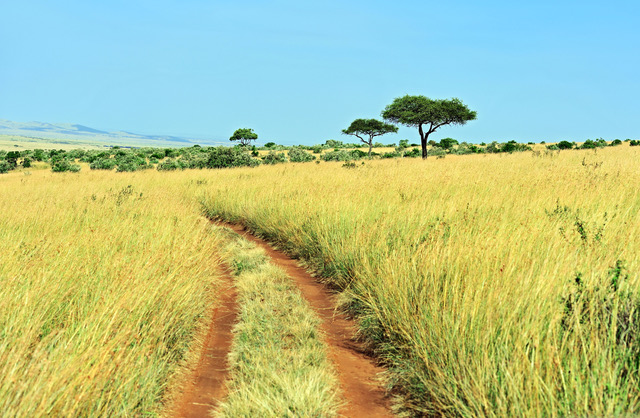
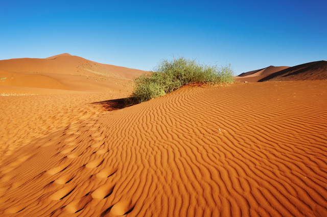
Finding out if you have global or regional mountain energy moving through your area can be discovered in several ways. My book, Walking The Land, guides you in detail on how to discover mountain energy in your area, as well as how to connect with the guardian of a mountain peak or range.
Based on decades of working and connecting with sacred sites around the world, I observed common patterns and similarities between them. Over time, I created a formula for such places: There is always a mountain, range, or hill within eyesight distance, a water source (either above or below ground), faults and fissure(s) created by earthquakes (ancient or modern), and a triangle/circle/or other geometric shape which connects all the above. For example, a triangle connects three different energy points that can be miles (hundreds, sometimes) with one another and it creates an energy hub. Even if you aren’t sensitive, you can find such places by using the energy hub formula and your own observations.
Case in point, and an excellent example, is Machu Picchu. It is the whole package formula-wise. Look at the map which shows Machu Picchu, Huynu Picchu and Mama Putukusi close to one another. Where they stand in relation to one another creates a natural triangle between the three of them. In the Quechua belief system, the individual mountains found within the Andes Mountain Range, are either male (lord) or female (lady). In this arrangement, two are lords and Mama Putukusi is the lady. The untamed Urubamba River snakes in and around all three mountains that are packed closely together. All three black basalt/lava mountains were formed by volcanic activity—and earthquake activity in this region is active to this day. Let’s examine this formula and dig down into each part of the formula:
MOUNTAINS: They are the backbone, literally and figuratively speaking, of our planet. The unseen mountain ranges beneath the oceans of the world wield equal amounts of energy as their above-ground counterparts, and the two work in unison to stabilize and move energy around the globe. Every area that is in the path of this line of energy, is “fed” by it. These lines of energy are passed off to the next mountain or range, and the next one, and so on, which helps maintain the stability Earth’s orbit and the movement of our planet through space. Mountains also have their own energy, so while the stabilized energy which is passed around this global network gives energy to every area it moves across, the mountain(s) are also feeding and adding their energy along the line to maintain the frequency of energy so that it doesn’t eventually dissolve and disappear.
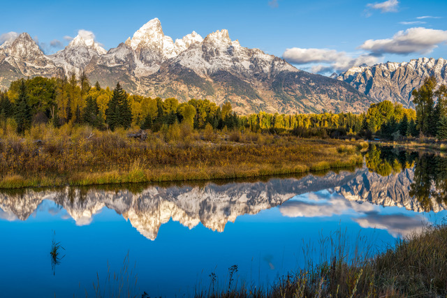
WATER: Indigenous people call water Mother Earth’s bloodstream. Water, whether fresh or salty, brings its own unique energetic conductivity. Water is an energetic “shape-shifter” due to the atomic arrangement of the water molecules. It acts as another overlay to wild, untamed energy, smoothing and shaping it for movement and ease from one mountain to another, while utilizing its frequency to ‘feed’ the local area where the water is located. By the same token, the water ‘feeds’ this line of energy, as well as the 3rd dimensional soil where it is at, so that the strength of its vibration is maintained.
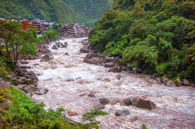
TRIANGLE: One of many sacred geometric shapes, this particular 3-sided one has cropped up a lot in my travels across the world. The number “3” from a numerology perspective, is ‘birthing’ energy. For some, it is seen as the mother-father-child or family unit. For example, sacred wells or sacred streams of water can be part and parcel of the shaping of the energy if it is coming from a regional or global-sized energy hub such as in Machu Picchu, Peru.
CIRCLE: Another sacred geometric shape, and one that the ancient people recognized and created into stone circles—both large and small around the world (think of Stonehenge, as an example of a large circle). The circle is considered energy that becomes a perpetual motion (of energy) machine and remains “online” forever unless the geography or landmasses change. From a science standpoint, energy can be changed, but it can never be destroyed.
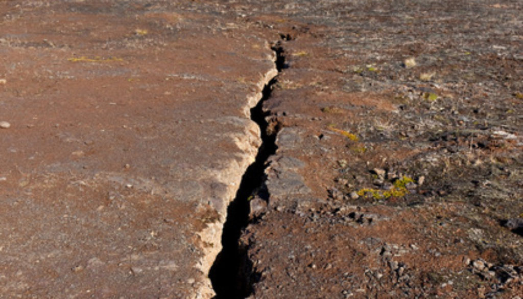
EARTHQUAKES, FAULTS & FISSURES: When the Earth experiences an opening below ground, and it opens up to the surface world, there is a huge, ongoing release of energy in that local (sometimes regional) area. Often, in energy hubs, you will find with a little investigation, that the area has a history of earthquake activity. Fissures, whether seen or unseen, are earthquake created tears in the body of the planet, and the energy is escaping in a wild and unstable form. You can go to your county and ask for a map of fissures or faults where you live to verify this. Also, a dowser or someone with a pendulum can locate them. A fault is a far more powerful energy source because it can move seen or unseen above or beneath the surface of the Earth for a much longer distance. It can be miles, even hundreds of miles long (example is the San Andreas Fault that begins in Mexico, moves up through Southern California and finally moves out to the Pacific Ocean where San Francisco sits). Fault energy is a ‘wild card’ because it is not gathered or smoothed out, or moved in a specific direction by mountains. What can make it more stable and controllable is if there is “vortex” (see my chapter on vortexes in Walking the Land for specific information).
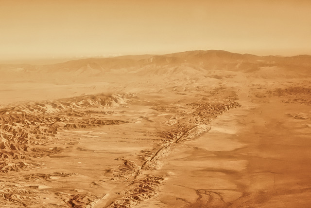
Photo Credits: Deposit Photos
OTHER RESOURCES:
http://www.oregonvortex.com/map.htm
http://www.oregonvortex.com/history.htm
http://www.oregonvortex.com/photographs.htm
http://www.oregonvortex.com/science.htm
https://jacksoncountyor.org/emergency/Hazards/Earthquake
